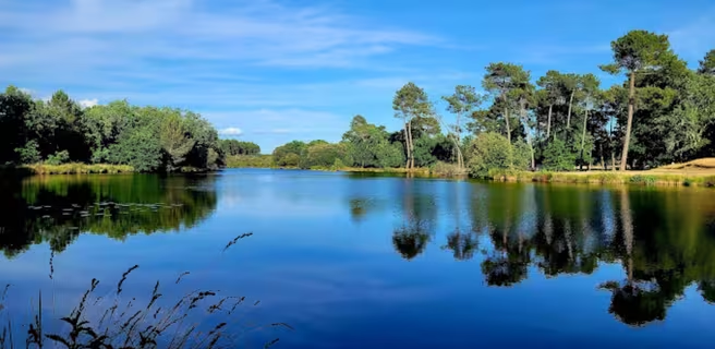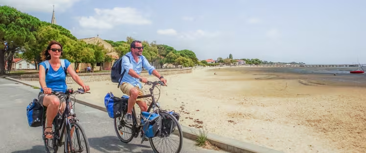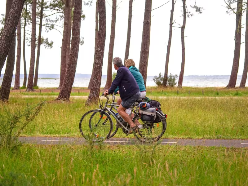
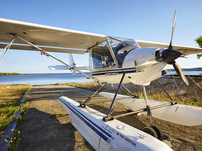
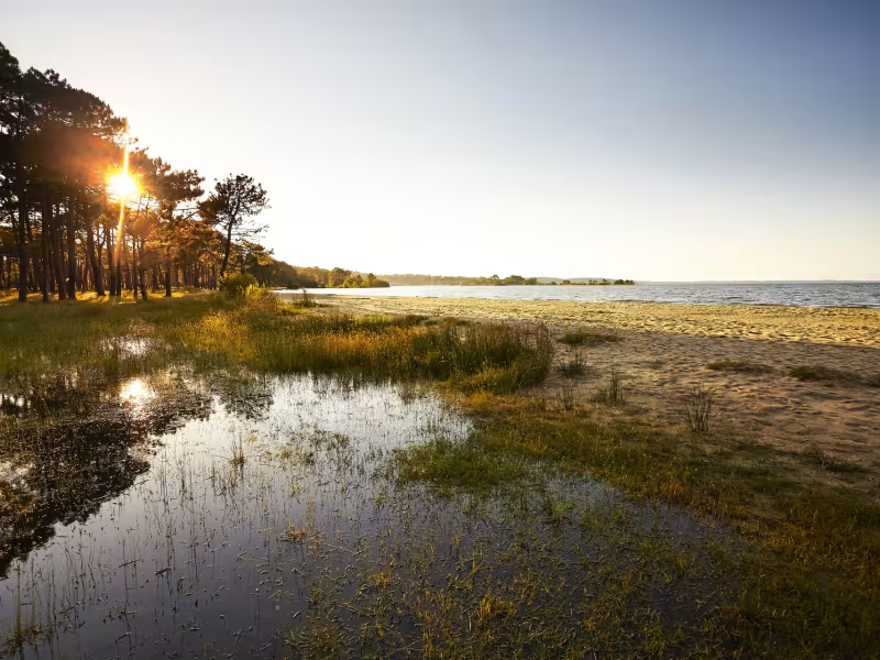
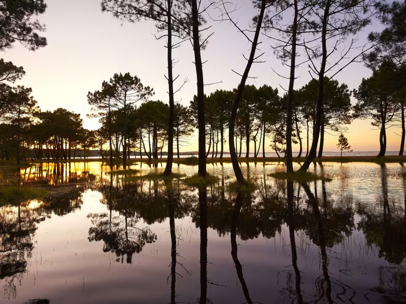
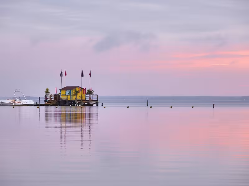
From Gironde to the Landes nothing really changes, apart from the section of military land which forces La Vélodyssée away from the seafront to make a long detour inland, where the blues of the vast ponds replace that of the sea. You may try out the hydroplanes, common to this part of Biscarrosse!
Gradients and elevation
Ascents: 138m
Descents: 127m
Lowest point: 14m
Highest point: 76m
Slope breakdown
0.51km steep descent (< -5%)
2km gentle descent (-5% to -1%)
22km flat (-1% to 2%)
2km climb (2% to 5%)
Road types
25km (98%) of cycle paths
0.39km (2%) of shared roads
- Cycle path
- Routes reserved for cyclists and pedestrians (greenways, cycle tracks, towpaths), separated from cars for maximum safety.
- Shared road
- Quiet minor roads with little traffic (unless otherwise stated in the stage details). Shared with cars (stay alert).
- Not specified
- Data unavailable or being assessed. Please refer to the detailed stage description.
- Provisional
- Section on a road or cycle path awaiting better-quality facilities (see stage details).
Surface
26km (100%) of smooth surface
- Smooth
- Asphalt, tarmac or smooth concrete. Optimal comfort.
- Rough
- Fine gravel, compacted stabilised surface or worn tarmac. Less comfortable, vibrations possible.
- Natural
- Dirt, grass, roots or stones. Under 5%: short sections with little impact. Higher percentage: route suited to mountain or gravel bikes only.
- Not specified
- Data unavailable or being assessed. Please refer to the detailed stage description.
Itinerary
Designated lanes except when crossing Biscarrosse. Uneven surface between Biscarrosse-Plage and the Cazaux Pond and Sanguinet.
Elevation
Be careful on this stage of La Vélodyssée, steep elevation and winding to reach Biscarrosse beach and Biscarrosse town.