All stages on La Vélodyssée, the Atlantic Cycling Route
Mûr-de-Bretagne / Pontivy
CRTB - Grégory Mignard 
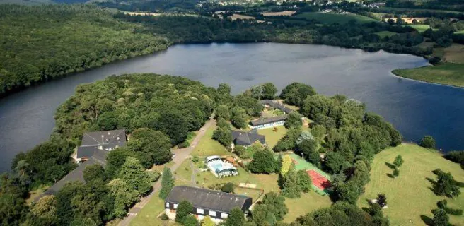
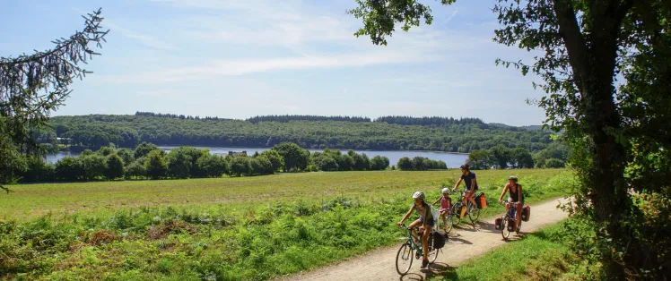
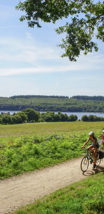
Designated track and very steep descent into the Guerlédan dam towards Pontivy. Here the Blavet is no longer navigable. The steep-sided valley, imposing lock keepers’ buildings and lush vegetation, give this stage of La Vélodyssée an enchanting feel.
Gradients and elevation
Ascents: 53m
Descents: 149m
Lowest point: 52m
Highest point: 160m
Road types
2km (8%) By road
21km (92%) Cycle path
Surface
3km (14%) Smooth
19km (83%) Rough
0.65km (3%) Unpaved
Itinerary
Steep descent to reach the Guerlédan dam in the centre of Mûr-de-Bretagne. After the descent there is a stage with designated track on the towpath as far as the îlot des Récollets.
Connections
On small lanes to St-Aignan and Neuillac.